GIS
geographic information system
Data you can rely on
A geographic information system provides an analytical approach to answering questions, solving problems, and meeting challenges that call for an integration of spatial (location) elements with data. GIS technology can digitally transform traditional 2D plans into a graphic and information-rich format. Various attributes can be linked to vector data, creating layers over map imagery or other base information.
Why is GIS important?
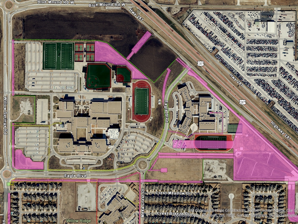
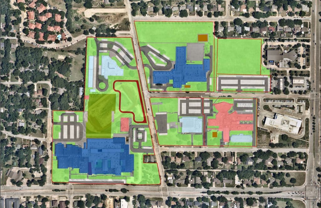
GIS allows team members to display overlays of information, CAD data, map features, and more to illustrate relationships between data and geographic features.
How does it work?
GIS can be hosted through PC, laptop, tablets, and mobile phone devices running iOS, Windows Mobile, or Android software.
How are Dunaway’s GIS capabilities different?
Dunaway’s in-house database assembled through years of gathering survey-grade data can be blended with client data to deliver information and answers quickly and efficiently.
COMPREHENSIVE GIS SUPPORT
- Facility Management
- Land Use Planning
- Event Planning
- Operational Management
- Real Estate Assessments
- Emergency Operations
- Resource Allocation and Planning
- Police and Emergency Dispatch
- Transportation Analysis
- Citizen Services
- Risk Compliance
- ArcGIS Online, Enterprise, and Portal Implementation
FACILITIES COORDINATION
- Utility Data Creation
- Facility Documentation and Management
- Maintenance Tracking and Planning
- Asset Management Systems Integration
- Interior Space Planning
- Asset Monitoring
- Stormwater Inlet Inspections
- Floorplans, Routing, and Indoor Mapping
ENTERPRISE GIS CONSULTING
- Strategic Planning
- CAD To GIS Conversions
- CAD/BIM/GIS Standards and Integration
- Customized Training and Support
- Staff Augmentation
- On-Call GIS Support Services
- Aerial Imagery Data Provider
- 3D GIS Modeling
- Enterprise GIS Deployments
- Mobile Field Data Collection
- Enterprise GIS Maturity Assessments